Home > Business Outline > Distribution of Charts/Publications
The Japan Hydrographic Association (JHA) is carrying out the service of reproducing and distributing Japanese official nautical charts, aeronautical charts, electronic navigational charts and other hydrographic publications issued by the Hydrographic and Oceanographic Department of Japan Coast Guard (JHOD/JCG).
JHA Chart and Publication Department has been certified “ISO 9001:2015” by BSI Group Japan, for its quality management in reproduction and distribution of Nautical Charts, ENC and Publications.
1. Reproduction and Distribution of Nautical Charts and Other Publications
Charts are classified as "Nautical Charts" and "Miscellaneous Charts".
Japanese Official Nautical Charts consist of "W-series Charts" which are compiled both in Japanese and English languages and "JP-series Charts" which show only in English.
Miscellaneous Charts include Tidal Current Charts, Position Fixing Charts, etc.
JHA also reproduces and distributes Aeronautical Charts to be used on aircraft.
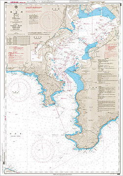
Chart W90 "TOKYO WAN"
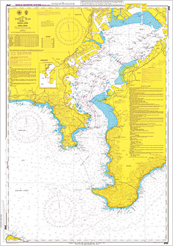
Chart JP90 "TOKYO WAN"
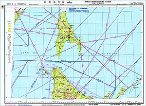
Aeronautical Chart 228l "International Aeronautical Chart WAKKANAI"
Chart Correction
Based on the Notices to Mariners published by JHOD, the nautical charts in stock are corrected up-to-date.

Chart correction work

Chart warehouse
2. Reproduction and Distribution of Electronic Navigational Charts (ENCs)
Official ENCs produced and published by JHOD are encrypted by JHA in accordance with the specifications of International Hydrographic Organization (IHO) for further reproduction and distribution.
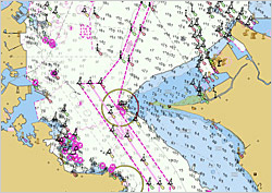
ENC Image of Uraga Suido (by day)
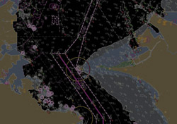
ENC image of Uraga Suido (at night)
3. Reproduction and Distribution of Nautical Publications
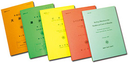
Nautical Publications are classified as "Sailing Directions" and "Special Publications".
Sailing Directions precisely describe maritime information useful for navigation such as weather at sea, passages and fairways, ports and harbors, coastal conditions, etc., thus to complement the contents of nautical charts.
Special Publications include List of Aids to Navigation, Tide Tables, Catalogue of Charts and Publications, etc.
Certain volumes of the Sailing Directions are published also in English.
